About 290 miles off the coast of Cannon Beach, Oregon, lies an underwater volcano called Axial Volcano. Axial erupts about once every ten years. Twice in the past year, news outlets have reported that the volcano will erupt “any day now,” and that’s mostly true, according to Graham Kent, a professor in the Nevada Seismological Laboratory and Department of Geological Sciences and Engineering. Kent said that the volcano is due to erupt again in the next year or so, as the last eruption was in 2015.
Axial is a shield volcano. Its magmas are made primarily of iron and magnesium, but the chemistry of some lavas are more silica-rich or andesitic, which has puzzled scientists. Research published in Nature in April provides insights into why the silica enrichment may be happening, based on the most accurate 3D seismic imagery ever made of the internal workings of a volcano.
Axial is interesting to researchers because of its location sitting over both a mid-ocean ridge, where two tectonic plates are moving away from each other on the seafloor, and a hotspot where magma rises deep from within the Earth toward the surface. Axial is an analog to the Kīlauea or Mauna Loa volcanoes on Hawaii, which are also basaltic (silica-poor). Despite being 1,000 meters below the ocean surface, Axial has been monitored remotely via fiber optic cables since late 2014 as part of the Ocean Observatories Initiative.
Volcanoes are camera-shy
As a child, Kent was infatuated with volcanoes. He would draw the classic cone-shaped volcano, with a large reservoir of red magma beneath the surface. That illustration is close to how geology textbooks represent volcanoes even today, but geologists suspect a more complicated picture should be drawn. It’s hard to know what that picture should look like, though. With current technology, scientists can’t see the inner workings of volcanoes that exist on land.
“But if it’s underwater, then you can employ technologies from the oil industry, and you can make a beautiful high-resolution 3D ‘sonogram’ of what a volcano actually looks like inside,” Kent said.
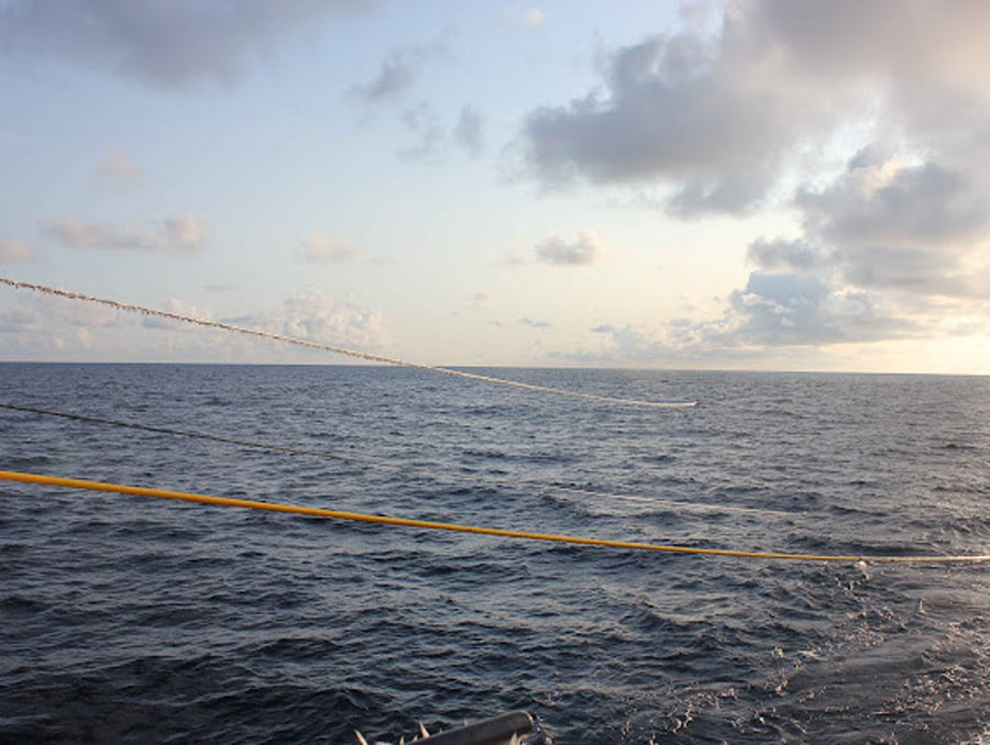
Those technologies include hydrophones deployed from research vessels like the Marcus Langseth, which were used to take 3D images of the volcano over about 250 square miles of the seafloor.
“This technology is pretty mature, because it’s used for a lot of oil and gas exploration around the world,” Kent said.
The Columbia University-owned Langseth is equipped with four 6-kilometer-long hydrophone streamers, which are towed behind the boat. The streamers are kept equidistant by paravanes. Pressurized air is shot into the ocean at a 40-foot depth, where the air bubble expands before the pressure forces it to collapse, essentially sending a soundwave that is directed down toward the volcano. The reflections of this sound source from within the volcano are recorded by the hydrophones, allowing the researchers to create an image of the volcano’s plumbing based on the waveforms.
“What we're able to do is make this super accurate 3D image, and with that, we're able to address a lot of ideas with respect to, how do volcanoes work? What does the plumbing look like? How does that plumbing affect the chemistry of the rocks? How does it affect how eruptions occur?” Kent said.
Silica enrichment theories in volcanoes may need revision
The 3D images took time to understand. The data were originally recorded on an expedition in 2019. In 2023, Kent took a sabbatical in Paris to work with his colleague Satish Singh on processing and interpreting the data. Kent has collaborated with Singh’s research group, which is based in Paris, for nearly thirty years. What Kent and Singh found based on the imagery and strange chemistry was that there were more processes at play in building this volcano than previously thought.
Volcanologists theorized that magma migrates between alternating layers of molten rock and soft crystal, enriching in silica content as it moves through those alternating layers before eruption. Kent believes that’s accurate, but it’s not the full picture. He and his coauthors suggest assimilation or remelting of the overlying rocks along the lithosphere-asthenosphere boundary, the upper boundary of the main magma chamber of the volcano, may be important. As these assimilated rocks have small amounts of water, this contamination can also drive silica-enrichment of lavas as seen today in Iceland, where super silica-rich rhyolitic rocks are found.
“In effect, we see two different ways of allowing rock composition to evolve, to be more silica-rich,” Kent explained. “This is probably the best place on the planet where both those modes are very nicely expressed. We still don't know which is the most dominant, most important. It may evolve through time.”
Kent hopes that in the future the 3D imagery technology will be deployed immediately before and after Axial erupts, so scientists can see how the internal workings of the volcano change with eruptions. This 4D (3D with time) imagery is a key step toward understanding changing volcano chemistry.
“Science is one brick at a time,” Kent said. “Sometimes bricks are bigger, and sometimes they're smaller, but at the end of the day, I think this is an important brick in trying to piece everything together.”


