Klaire Rhodes is a graduate student working in the Nevada State Climate Office with Associate Professor in the Department of Geography Thomas Albright. Albright is serving as Interim Nevada State Climatologist. Rhodes and Albright publish quarterly climate outlooks for the Nevada State Climate Office.
A monthly temperature analysis reveals that December 2023 was the sixth warmest December on record.
Temperature
The last quarter of 2023 gave Nevada temperatures that were mostly near or 1-3°F above recent climatic averages. However, while the map looks fairly uniform spatially, the monthly data reveal a surprising twist. October and November actually stayed mostly near recent temperature normals but December gave us a very warm chaser. During this last month of 2023, average temperatures were uniformly warmer than usual, and in about half the state, a full 5-7°F warmer, making the month the 6th warmest December on record.
Precipitation
On the precipitation front, the last quarter of 2023 gave us a dry finish to a year that started out wet. During this quarter, precipitation was sparse across most of the Silver State, but especially in the southeastern counties, where rainfall was much below normal. As we saw with temperatures, it was December that would deliver the surprising chaser after a near-normal October and December. This is disappointing for two reasons. First, this meant that most Nevadans had little to no snow over the holidays, even if only to see on neighboring mountains. Second, December is normally a wetter and snowier month (remember last year?!), so a below-average December is a bigger deal for our water situation. The good news is that there’s still time to turn things around and avoid lapsing back into widespread drought, especially if 2024 storms continue to deliver. Speaking of the "d-word", the U.S. Drought Monitor map is largely unchanged for us at the end of the year, with that stubborn patch of D1 (Abnormally Dry) - D2 (Moderate Drought) in Clark and Lincoln counties neither expanding nor contracting.
Outlook for January – March 2024
December’s surprising turns really have us wondering what the next three months will bring. NOAA’s seasonal outlook suggests we might want to keep our rain boots (or skis!) handy and our layers light. That said, seasonal forecasting is a tough business and the outlook itself is quite tentative. There’s only a moderate 30-50% chance we’ll be seeing temperatures and precipitation figures that tip-toe above the norm. So, while we aren’t expecting heat waves or a dumping like was seen last winter, Mother Nature is nothing if not surprising and we’re only a couple good storms away from a strong winter. As we swing into spring, the ENSO discussion from NOAA suggests a move into ‘ENSO-neutral’ conditions from the El Niño status across much of the west throughout the early winter. This means that we’re possibly heading towards a weather pattern that doesn’t swing decisively towards either El Niño or its counterpart, La Niña. As always, the climate likes to keep us on our toes!
In Depth – Exploring 138 years of the Nevada State Climate Office
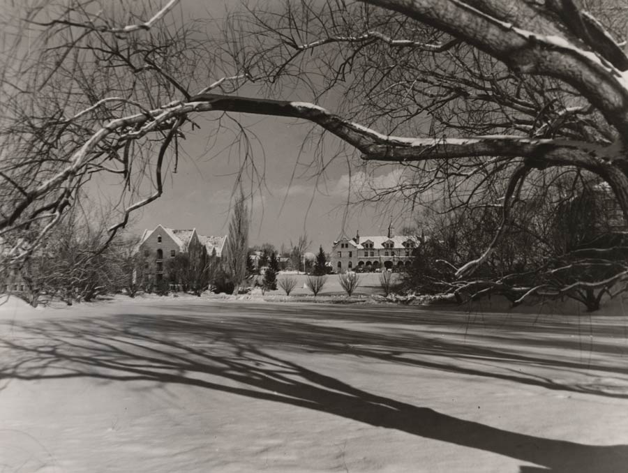
As Nevada’s first university celebrates its 150th year, the Nevada State Climate Office isn’t far behind, entering its 138th year. We are proud to be a part of Nevada’s storied history of weather observation. Systematic weather observation, rigorous analysis of patterns and trends, and clear communication about the state’s capricious climate are essential to farmers, ranchers, scientists, decision-makers, and the public at large. This has never been more true, as we experience historic droughts, rapid warming, and challenging natural resource and planning decisions for the years to come. Our colleagues at the Nevada State Archives are a great resource if you want to peruse this history digitally. Better yet, why not see it for yourself?! Through the end of March, the State Archives in Carson City is hosting is a special exhibition on Nevada weather observations going back to founding Nevada State Climatologist Charles Friend. This is a great opportunity to see weather history come to life with original observations, photographs, and other records to view.
