Associate Professor in the Department of Geography Steph McAfee serves as Nevada’s State Climatologist. She recently published an update about Nevada’s drought, which was shared through the Living With Drought program and is published below. Living with Drought is a collaborative program that provides information to help Nevadans prepare for, respond to and recover from drought.
Drought continues to improve across the state courtesy of cold wintery storms. Large reservoirs like Lake Mead remain low and will need several good years to approach normal.
Current drought conditions in Nevada and across the West
Another cold and locally wet month delivered further drought improvements. Less than 10% of the state is now in D3-Extreme Drought, which is limited to Lincoln, Nye and Clark counties. Several counties are now wholly or partly out of drought and are just Abnormally Dry (D0). Nevada's Drought Response Plan calls for counties to be under a Drought Alert when at least half of the county is in D2-Severe or more significant drought for at least two weeks and a Drought Watch when at least half the county is in D1-Moderate Drought. All Nevada counties started the water year under a Drought Alert. Now four counties—Carson City, Douglas, Mineral and White Pine—are out of both Alert and Watch status. Only six remain in the higher Alert category—Clark, Humboldt, Lincoln, Nye, Pershing and Washoe.
Across the western U.S., D4-Exceptional Drought remains only in Oregon. D3-Extreme Drought is also much reduced in area. A large portion of the Upper Colorado River Basin is not experiencing any drought. Parts of the Sierra Nevada are also drought free.
Over the past month, there have been one-class improvements across many western states. In parts of California and Utah, conditions improved two full classes in February. There were one class degradations, mostly in the coastal Pacific Northwest where the weather has been unusually dry.
February was cold state-wide and locally quite wet. After a bit of a break in the weather during late January and early February, storms came through again near the end of the month. Parts of Esmeralda, Mineral and far southern Nye counties received two or more times the normal February precipitation. Other parts of Nevada were drier. Parts of Humboldt, Pershing, Churchill, Lander, Lincoln and Clark counties received less than half the expected February rain and snow.
It was quite cold, though. Temperatures were well below the 1991-2020 average over almost all of Nevada. Cold temperatures meant that even Las Vegas got some snow. Trace amounts were reported at the National Weather Service office and at the airport. The National Weather Service issued a blizzard warning for Tonopah.
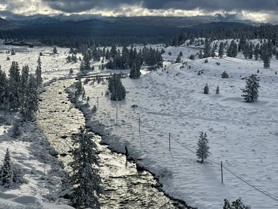
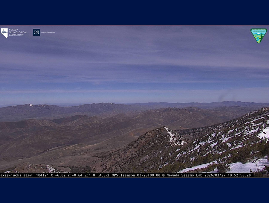
Speaking of snow, much of the Sierra Nevada and Great Basin had one and a half to nearly three times as much snow as usual for late February. The Upper Colorado River basin is also snowy, averaging 135% of normal.
Along the eastern side of the Sierra, and particularly in the Walker River and Mono-Owens Lakes basins, the snowpack is astonishing. In the Walker River basin, the snow is higher than the Natural Resources Conservation Service has ever reported (admittedly the record only extends back to 1981). The snowpack is, in fact, over twice the median peak. In the Lower Humboldt, which has been relatively dry compared to other parts of the state, snowpack is already above the median peak snowpack, which normally occurs later this month. All this is before the snow expected in early March.
Soil moisture
Soils in west-central, central and southeastern Nevada are wetter than normal on the surface and at depth. In much of Douglas County, topsoils are 70% wetter than normal. Elsewhere, topsoils and subsoils are generally drier than normal. Subsoils in western Clark County appear as much as 50% drier than normal. As usual, anomalies are more pronounced in topsoil than subsoil.
Water resources
Water levels in many Nevada reservoirs are near or above normal for late February. Bridgeport Reservoir and Topaz Lake are particularly full. Both are normally less than half full at this time of year. This year they are at 56% and 66% of capacity, respectively. Rye Patch Reservoir remains at just 5% capacity, instead of the relatively low 16% of capacity that is normal for late February.
Lake Mead elevations remain very low, and with the most probable inflows, it is expected to remain in at least Level 2 shortage through the next two years.
Streamflows were mixed, ranging from lowest-ever to highest-ever flows reported. Both lowest- and highest-ever flows were reported in southern Nevada. Elsewhere flows ranged from much-below to above-normal in areas with generally high precipitation, suggesting reservoir management is contributing.
Looking forward
Water-year-to-date precipitation is in the top 10% for much of Nevada. In a few areas, it is even the wettest October - February period since the 1890s. Much of Clark County, along with parts of southern Nye and Lincoln counties do remain near or slightly drier than normal.
The Climate Prediction Center still anticipates the current La Niña ending this spring, and there are now better than even odds that El Niño conditions will develop in the late summer or fall.
Although the outlook for March is leaning quite wet for Nevada, the spring (March - May) outlook is less promising. Much of the state has equal chances of wet, normal or dry conditions and equal chances of cool, normal or warm temperatures. Far southern Nevada is leaning toward warmer and drier conditions through the spring, consistent with La Niña expectations. The Southwest is typically dry during La Niña winters, it isn't always. For a deeper peek into the question, check out a recent post on the ENSO Blog.
Because the winter so far has been quite wet, drought conditions are expected to continue improving and perhaps even resolve by the end of May in most of Nevada. Below-normal precipitation since April 2020, combined with low odds of a wet spring mean that drought is likely to remain in far southern Nevada.
