GIS Day is back and in-person
DeLaMare Science & Engineering Library celebrates GIS Day Nov. 16 with posters, talks, workshops, a map-a-thon, and informal networking sessions
In 2021 the DeLaMare Science & Engineering Library hosted the University’s first ever GIS Day celebration. This event was virtual and highlighted the many research and teaching applications across the campus using GIS technologies. This year we are planning a live in-person celebration on Wednesday, November 16th that will feature a number of different events held in the Matthewson-IGT Knowledge Center. These events include a Birds of a Feather session from 9 a.m. to 10 a.m., a career panel 10 a.m. to 11 a.m., Map-a-thon 11 a.m. to 2 p.m., GIS presentations 2 p.m. to 4 p.m., and finishing off the day with the Geography Colloquium Seminar at the Knowledge Center Rotunda. Posters will be displayed Tuesday – Thursday in honor of Geography Awareness Week in the Mathewson-IGT Knowledge Center Rotunda. We encourage all curious people to stop by and check them out.
What is GIS?
GIS stands for Geographic Information Systems, and is a system for managing spatial data. GIS allows us to make maps, but underneath these maps is a relational database. The essence of GIS is that allows us to ask spatial questions, such as “where are pinyon pine found,” “which schools are located near gun shops,” “how might we get from one mountain range to another if we are a male bighorn sheep,” and “how can we site a new school in order to ensure that the greatest number of spatial criteria are met.” Modern GIS uses data from a wide range of sources including satellite and aerial sensors (including unmanned aerial vehicles aka drones), Global Positions Systems (GPS), archival historical maps, and citizen-science platforms, such as iNaturalist. Across the University campus there are a number of courses taught that use GIS in the Geography, Geology, Natural Resources and Environmental Science (NRES), Agriculture, Veterinary, and Rangeland Sciences (ANVRS), Anthropology, Public Health, and Mathematics and Statistics departments. Additionally, the DeLaMare Science & Engineering Library offers online guides to help people get started as well as in-person and virtual office hours.
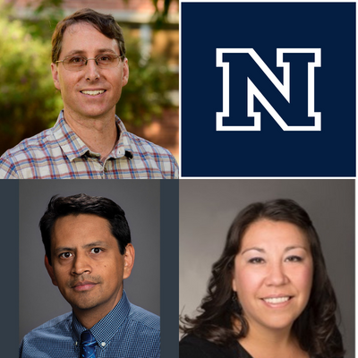
About the authors
Contact Chrissy Klenke, Earth Sciences, GIS, and Maps Librarian at the DeLaMare Science & Engineering Library at cklenke@unr.edu. She earned her Masters of Library and Information Science from the University of Denver (DU) in 2011 and has been a Librarian at DeLaMare Library since 2012. She’s been using and providing GIS services across campus since 2017.
Contact Carlos Ramirez Reyes, Research Data Services Coordinator at the DeLaMare Science & Engineering Library at the DeLaMare Science & Engineering Library at cramirezreyes@unr.edu. He recently joined the University after conducting research in spatial analysis for various applications in ecology and conservation biology. Carlos has earned degrees in Biology (Mexico’s National University), Ecology (U. of Poitiers) and Forestry (UW-Madison).
Contact Tom Dilts, Research Scientist in the Department of Natural Resources and Environmental Science at tdilts@unr.edu. He has been using GIS for natural resource applications since 2002 when he began working for the Bureau of Land Management in Glennallen, Alaska. His M.S. in Geography is from the University of Nevada, Reno, and he has been working for the Department of Natural Resources and Environmental Science at the University since 2007.