Nevada Bureau of Mines and Geology cartographers and Geographic Information Systems specialists received awards at the 25th Annual Nevada Geographic Information Society conference for their innovative work on two maps.
Irene Seelye was awarded first place in the "Cartographic" category for her work on Geologic Map of the Southern Part of the Eureka Mining District and Surrounding Areas of the Fish Creek Range, Mountain Boy Range, and Diamond Mountains, Eureka and White Pine Countries, Nevada. The map is a project involving other Bureau faculty Sean P. Long, Christopher D. Henry, John L. Muntean, Gary P. Edmondo and Robert D. Thomas.
Seeyle's work involved an integrated new cartographic process for preparing base maps into the Eureka map. The process begins with a modern topographic map and blending it with the geologic units and a hill shade by using specialized blend modes. This allows maps to be more easily understood due to the more visible, clear topography.
"It is really nice to receive recognition from my peers across the state," Seeyle said. "The map that I submitted was the first we published with a new process for the background hill shade."
Bureau of Mines and Geology faculty Jennifer Vlcan, Rachel Micander and Matt Richardson took third place for their cartographic work on Geologic Map of the Minden Quadrangle, Douglas County, Nevada and Alpine County, California by Alan R. Ramelli, James C. Yount, David A. John and Larry J. Garside.
"It is always great to be recognized for our cartographic work, especially when so much is involved in the cartography and GIS of geologic map production," Vlcan said. "Cartography of geologic maps is detailed and can be tedious at times, but it is a fun challenge to tackle with each map that we work on."
This was also one of the first maps Micander had worked on for the Bureau. She was responsible for completing a few of the final checks and edits by verifying all of the color and unit information matched the maps.
"Being new to the Bureau, this was helpful for me to work through these edits and learn what goes into bringing these maps to publication," Micander said. "It was nice to receive this award for one of the first maps I completed."
Seeyle and the rest of the winners work on several maps at a time, at least a half dozen featuring different areas around Nevada.
For more information on the College of Science's Nevada Bureau of Mines and Geology, visit http://www.nbmg.unr.edu/.
NevadaToday
College of Science cartographers receive awards at state GIS conference
Cartographers and GIS Specialists recognized for their work on two maps
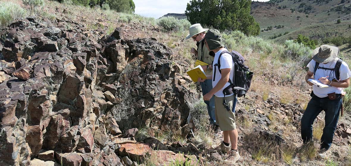
The landscape of the new geological map of the Southern Eureka mining district with Diamond Peak in the distance. Photo by Jack Hursch.


